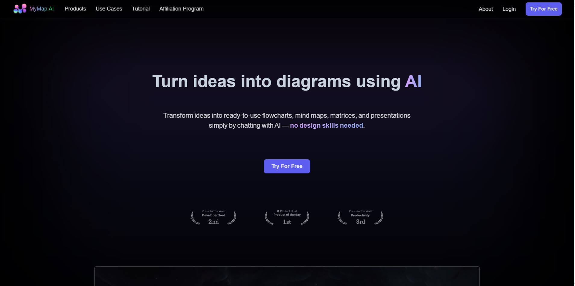
What is MyMap AI?
- Founder: Not publicly disclosed
- Launch: 2023
- Use Cases: Interactive data visualization, location analysis, business intelligence, educational mapping, urban planning, geospatial research
- Technology: Artificial intelligence, machine learning, geospatial data processing, cloud-based mapping
MyMap AI is an AI presentation tool that transforms geospatial data into engaging and insightful maps to support data-driven decision-making. Using advanced artificial intelligence, it enables users to create interactive maps from raw data, identifying patterns, trends, and insights that would not be found on standard maps. MyMap AI caters to businesses looking for market intelligence, educators aiming to visualize educational content, researchers wanting to visualize spatial data, and urban planners wishing to visualize a city plan. It uses machine learning algorithms to scrutinize datasets, identify correlations, extract insights, and formulate data visualizations.
MyMap AI offers a cloud-based presentation or sharing platform, as users can access the same files from any point of access, anywhere, easily share maps for various interactions, work collaboratively, or include them in a presentation. MyMap AI can handle datasets from numerous formats, so it is adaptable to working in various sectors, industries, or applications to visualize data. The platform allows users to convert complex data into actionable insights with innovative Artificial Intelligence capabilities and reliable processing times, which enable users to comprehend spatial relationships, make informed decisions, take meaningful action based upon a strategy, and share and communicate their data effectively.


 Verified


