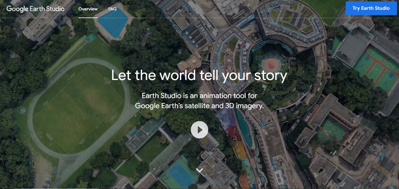
What is Google Earth Studio?
- Founder: Google
- Launch: 2018
- Use Cases: Animated storytelling, geographic data visualization, time-lapse creation, educational presentations, news broadcasting
- Technology: Web-based animation platform powered by Google Earth’s satellite and 3D imagery
Google Earth Studio is a modern, web-based animation platform developed by Google to animate Earth imagery. It enables users to create animations that meet professional standards using Google Earth’s enormous collection of satellite and 3D images. The platform was designed specifically for media, research, and learning professionals who need visually arresting ways to show where places are located on a map and what is changing around the world or near a particular geographic location. Earth Studio is designed with a simple interface that offers precise control through the keyframe animation process, as well as options to control camera movements and the rendering output. Users can produce cinematic flyovers, time-lapse animations, or animations based on a particular location, all of which could play a complementary role in storytelling across a variety of industries. The connection to real Google Earth data provides a level of trust and validation to the audience, especially useful in journalism, education, and creative aspects of media. Whether for a documentary, a presentation, a visual report, or other visual formats, Google Earth Studio will ease the visual journey from a map to a more immersive and engaging visual form.


 Verified


