
Looq AI
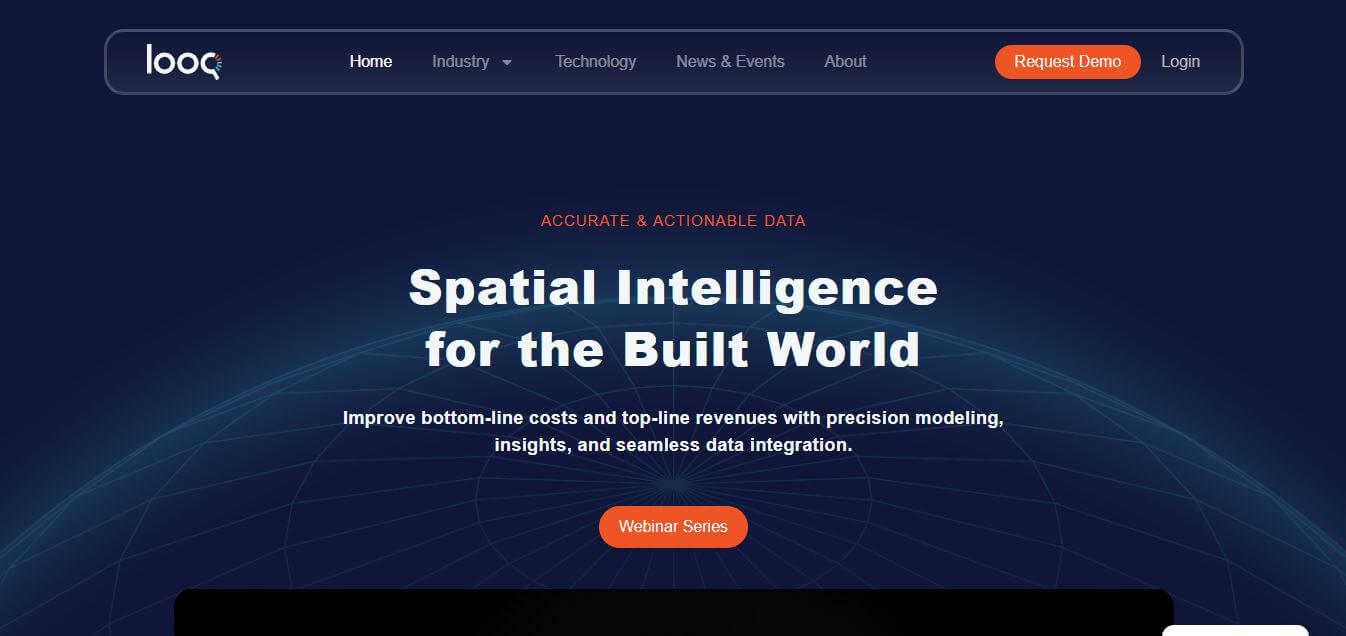
Looq AI is an advanced spatial intelligence platform that streamlines surveying, civil, and engineering workflows with AI-powered data capture, processing, and analysis.
What is Looq AI?
Looq AI is an AI-powered image platform that provides new means of measuring, mapping, and coordinating surveying, civil engineering, and utility operations. By combining AI-enabled photogrammetry with advanced data processing, it helps engineers, surveyors, and infrastructure professionals capture and process field data more accurately, efficiently, and safely. The platform delivers survey-grade 3D models, 2D datasets, and insights that users can put to work, ultimately improving project management, maintenance, and inspections.
The Looq AI cloud-based environment brings real-time accessibility in an interactive format to position multiple stakeholders for shared analysis and data collaboration and project management while reducing errors and increasing decision quality. The intuitive site and automated workflows simplify complicated, historically lengthy processes and adhere to strict accuracy standards, saving time and cost. From transmission and distribution networks to civil infrastructure work, Looq AI enables organizations to make the most efficient use of their resources, to increase operational efficiency, and to deliver projects more quickly. Using the latest AI techniques, 3D point cloud processing, and spatial analytics, Looq AI helps professionals turn complex field data into reliable, actionable insights that improve project outcomes and enhance safety and efficiency in engineering and surveying environments.
- Founder: Not publicly disclosed
- Launch: Not publicly disclosed
- Use Cases: Surveying, civil engineering, T&D engineering, asset inspection, maintenance planning, and utilities management
- Technology: AI-powered photogrammetry, 3D point clouds, 2D data analysis, and cloud-based collaboration tools

Key Features
Some Looq AI key features are
- AI-Powered Field Data Capture – Capture survey-grade field data using handheld photogrammetry without requiring LiDAR or drones.
- Survey-Grade 3D Point Clouds – Generate high-precision, georeferenced 3D models and point clouds with centimeter-level accuracy.
- Handheld qCam Technology – Use a portable camera system with integrated GNSS and IMU sensors for efficient field capture.
- AI Cloud Processing (qAI)—Automatically process captured data into intelligent 3D models, orthophotos, and geospatial datasets.
- Digital Twin Creation – Create engineering-ready digital twins for surveying, utilities, and infrastructure projects.
- Collaborative Web Viewer (qApp) – View, inspect, measure, analyze, and share models through a cloud-based platform.
Looq AI Pricing
Looq AI offers various pricing plans
- Custom enterprise pricing
- Hardware + software subscription bundles
- Quote-based pricing for surveying and infrastructure teams
- Demo available upon request
- Pricing varies by project scale, hardware requirements, and cloud processing usage
Disclaimer: For the latest and most accurate pricing information, please visit the official Looq AI website.
Who is using Looq AI?
A diverse range of users and organizations utilize Looq AI
- Land Surveying Firms
- Civil Engineering Companies
- Transmission & Distribution (T&D) Engineering Firms
- Utility Companies
- Engineering Consultants
- GIS and Geospatial Teams
Looq AI Alternatives
Some Looq AI alternatives are
- Pix4D
- DroneDeploy
- Bentley iTwin
- Esri ArcGIS Reality
- Trimble Reality Capture
- Leica Geosystems
- Matterport
- NavVis
- RealityCapture
- Agisoft Metashape
- OpenSpace
- Skydio 3D Scan
People are also reading
FAQ
What industries can use Looq AI?
Looq AI serves surveying, civil engineering, T&D engineering, and utilities sectors.
How does Looq AI improve data accuracy?
It uses AI-powered photogrammetry and advanced processing to generate survey-grade 3D and 2D models.
Can multiple users collaborate on the platform?
Yes, Looq AI supports cloud-based collaboration for seamless data sharing and project management.
Is Looq AI suitable for field data capture?
Absolutely, it allows safe and efficient on-site data capture using handheld devices.
What are the main benefits of Looq AI?
It improves efficiency, reduces costs, ensures accurate modeling, and provides actionable insights for engineering projects.
User Reviews
No reviews yet for Looq AI.
Featured Tools
Featured AI tools from TechShark
Melody Genie
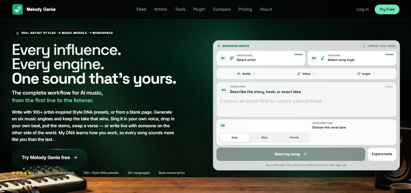
MelodyGenie is an AI-powered music generator that creates original songs from simple text prompts. Users can choose styles, moods, and genres, then instantly generate melodies and full tracks, making it easy for creators, marketers, and hobbyists to produce custom music without musical expertise.
Freemium
Kimi AI
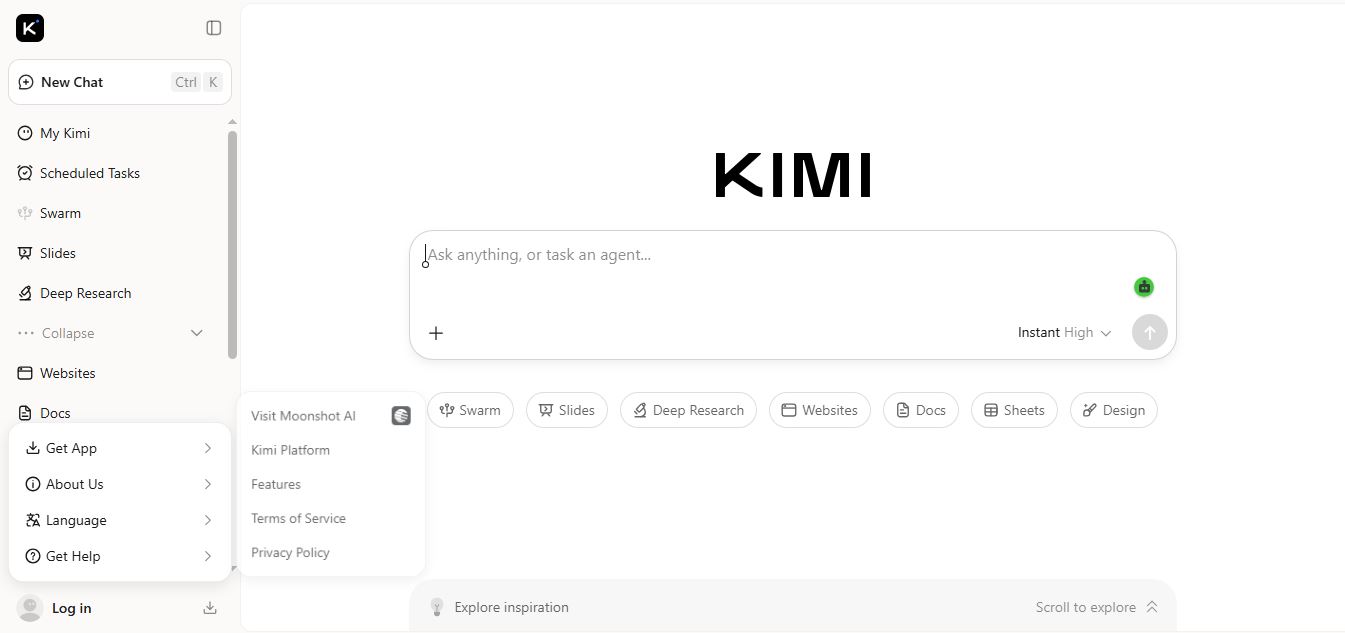
Kimi AI is an advanced AI assistant developed by Moonshot AI that helps you chat, research, write, code, and automate tasks in one place. It supports web search, file analysis, and multimodal inputs, and can even run autonomous “agent” workflows to complete complex tasks end-to-end.
Freemium
Fashion Diffusion AI
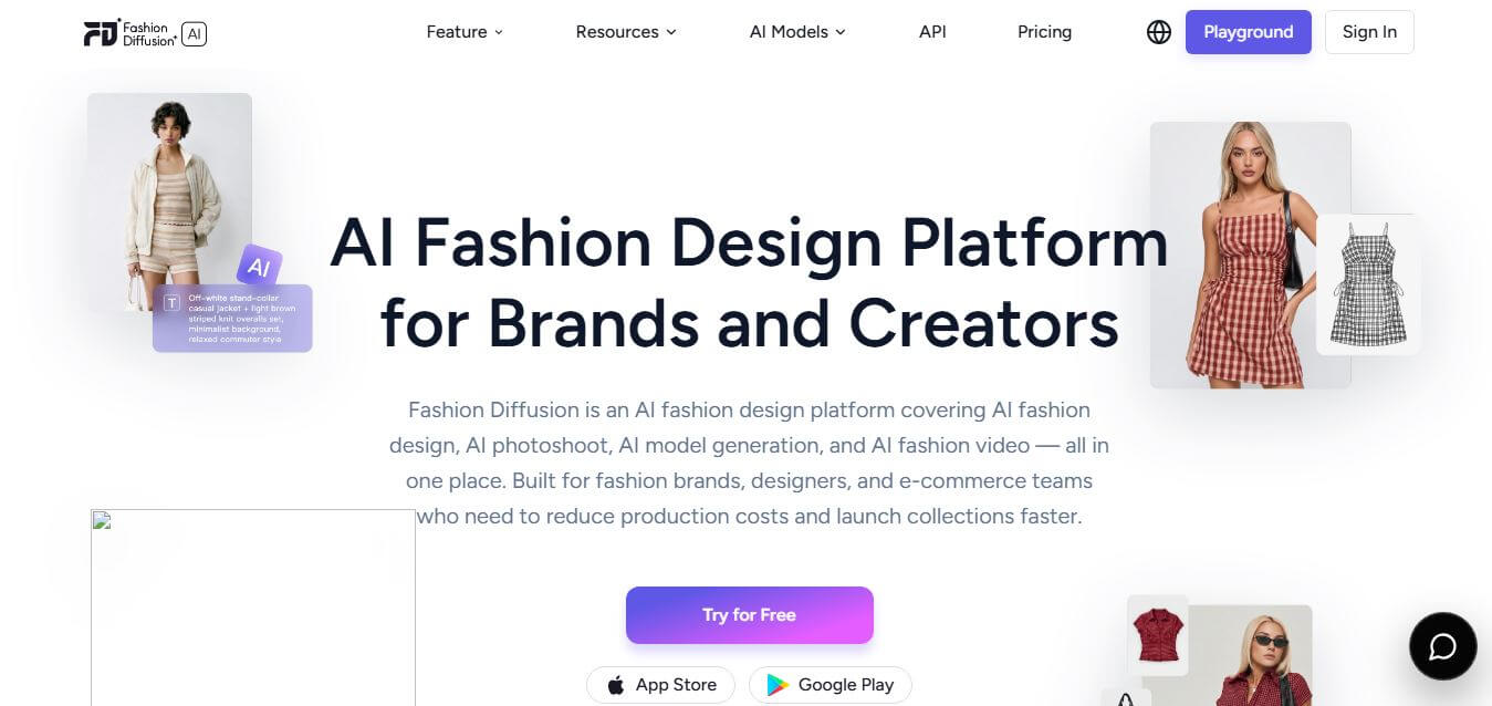
Fashion Diffusion is an AI-powered fashion design platform that helps brands and designers create clothing designs, virtual try-ons, AI models, product photos, and marketing visuals faster and cost-effectively.
Paid
Veo 4
Veo 4 AI is an AI video creation platform that generates dramatic videos from text, images, audio, and video prompts using realistic motion and synchronized sound.
Paid
Alternatives
Alternatives to Looq AI
Looq AI is a cutting-edge spatial intelligence platform that leverages AI-powered photogrammetry and 3D modeling to streamline surveying, civil engineering, and utility workflows, delivering accurate data, actionable insights, and enhanced collaboration.
 4.9
4.9Manifold
Research
Manifold helps life sciences organizations turn complex clinical, genomic, and real-world data into governed, self-service insights. Its specialist agents support natural-language queries, cohort building, bioinformatics, statistical analysis, data partnerships, and evidence generation. Teams can keep sensitive data within their cloud while controlling access, auditing activity, and scaling research workflows securely.
 5.0
5.0Rayyan
Research
Rayyan is an AI-powered systematic review and literature review platform that helps researchers organize references, remove duplicates, screen studies, extract data, assess risk of bias, and generate PRISMA reports. Its AI features assist with relevance ranking, article screening, and structured data extraction while keeping researchers in control.
 4.9
4.9EvidenceHunt
Research
EvidenceHunt is an AI-powered medical research platform that helps clinicians, researchers, and life science teams find and analyze scientific evidence. It searches medical literature, guidelines, and internal documents, then generates citation-grounded answers, evidence tables, systematic reviews, and traceable insights for faster, evidence-based research.
 4.9
4.9Elicit
Research
Elicit is an AI-powered research assistant that helps users find, summarize, and analyze academic papers at scale. It searches millions of studies, extracts key data, and generates evidence-backed reports, enabling researchers to conduct literature reviews, compare findings, and make informed decisions faster.
 4.8
4.8Scholarcy
Research
Scholarcy is an AI-powered research assistant that helps students and researchers summarize, analyze, and organize academic papers. It turns complex documents into structured flashcards with key findings, concepts, and references, enabling faster reading, better understanding, and efficient literature review workflows.
 4.9
4.9Resoomer
Research
Resoomer is an AI-powered text summarization tool that helps users quickly turn long articles, research papers, and documents into concise summaries. It identifies key ideas, supports multiple formats like PDFs and URLs, and includes tools for paraphrasing, translating, and analyzing content for faster understanding.
 4.9
4.9Consensus
Academic
Consensus is an AI-powered academic search engine that helps users find, understand, and summarize scientific research from over 200 million peer-reviewed papers. It delivers clear, cited answers backed by real studies, making it easier to explore evidence, compare findings, and conduct research faster and more reliably.
 5.0
5.0Perplexity AI
AI Chatbot Tools
Perplexity is an AI-powered answer engine that searches the web in real time and delivers clear, cited responses instead of just links. It combines conversational AI with live data, helping users research topics, compare information, and get reliable insights quickly with verifiable sources.
 4.8
4.8Perfomir
Real-Estate
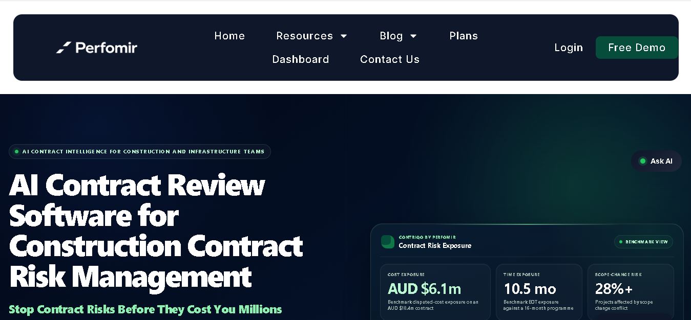
Perfomir helps construction and infrastructure teams turn complex contracts into actionable risk intelligence. Through Contriqo, users can review clauses, identify obligations, monitor notice deadlines, detect emerging claim exposure, and track commercial risk throughout project delivery, giving project leaders and commercial teams earlier visibility for more informed contract decisions and actions.