
GeoSpy AI
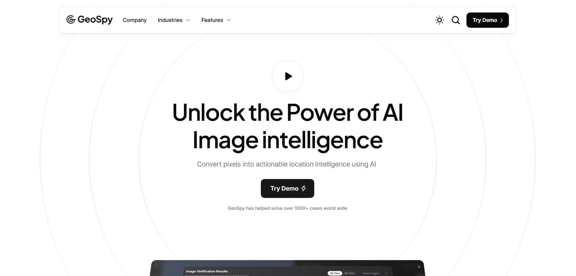
GeoSpy AI is an advanced AI-powered photo geolocation and OSINT platform developed by Graylark Technologies that analyzes subtle visual cues, architecture, vegetation, and topography in images to predict precise geographical coordinates without relying on EXIF metadata.
What is GeoSpy AI?
GeoSpy is an advanced AI-powered visual intelligence platform designed to identify the geographic location of images using only their pixel data. Instead of relying on GPS or metadata, it analyzes visual clues like architecture, terrain, vegetation, and signage to estimate where a photo was taken. Built for professionals as well as general users, GeoSpy provides fast and often highly accurate location predictions, sometimes down to city or even meter-level precision. It is widely used in fields like journalism, security, research, and open-source intelligence to verify images and uncover hidden context.
GeoSpy AI has processed visual investigations across more than 100 countries, helping OSINT analysts solve over 1,000 real-world location cases. The platform predicts urban coordinates with accuracy reaching within 100 feet in dense environments and under 5 miles in rural settings. Processing standard image lookups in under 5 seconds, GeoSpy reduces manual geolocation search times by over 80 percent. Its enterprise models process batch inquiries across thousands of image assets simultaneously, delivering reliable geospatial analysis without metadata dependency.
- Founder: Daniel Heinen and Graylark Technologies
- Launch Year: 2023
- Use Cases:
- Fact-checking and media verification in breaking news reporting
- Digital OSINT investigations and open-source intelligence gathering
- Law enforcement forensics and fugitive tracking
- Identifying unlabelled historical photographs and travel archives
- Technology:
- Computer vision and neural visual feature extraction models
- Multimodal image-text semantic embeddings
- Geospatial coordinate prediction and topographic classification engines
- Target Users:
- OSINT researchers and open-source intelligence analysts
- Investigative journalists and documentary filmmakers
- Cybersecurity professionals and digital forensic examiners
- Law enforcement agencies and intelligence organizations
- Acquisition: Operates independently under Graylark Technologies, Inc.

Key features of GeoSpy AI
GeoSpy AI's key features are
- Find locations without metadata: Even if a photo has no GPS or EXIF data, it can still figure out where it was taken just by analyzing the image itself.
- Explains its reasoning: It doesn’t just give you a result—it also tells you why, pointing out details like architecture, vegetation, or road signs that led to the prediction.
- Accurate location details: You get estimated coordinates, along with the country, city or region, and a visual map marker for clarity.
- High-precision AI model: Powered by an advanced model designed to deliver very accurate results, even for complex urban scenes.
- Bulk image processing: Developers and teams can upload and analyze thousands of images at once using a simple API.
- Interactive map view: See predicted locations directly on maps with confidence ranges, making it easier to verify results quickly.
- Focus on key details: You can crop specific parts of an image—like buildings or landmarks—to improve accuracy in your search.
- Privacy-first approach: All images are processed securely, with strict data handling to keep your information safe.
GeoSpy AI Pricing
GeoSpy AI offers accessible community testing alongside dedicated enterprise and scale tiers.
Free / Starter Plan:
- $0/month
- Includes up to 20 free image lookups using the base AI model
- Standard web visualizer and community support
Pro / Scale Monthly Plan:
- Starts at approximately $499/month
- Includes up to 10,000 image lookups per month
- Priority queue access and standard feature updates
Enterprise Tier:
- Custom pricing (typically from $20,000/year)
- Volume-based API access, custom regional models, on-premise deployment, and dedicated account support
Disclaimer: For the latest and most accurate pricing information, please visit the official GeoSpy AI website.
Who is using GeoSpy AI?
GeoSpy AI is designed for a broad range of investigative and security specialists, including
- OSINT Researchers & Journalists: Verifying the authenticity and location of breaking news imagery
- Cybersecurity Analysts: Investigating visual evidence in breach reports and threat intelligence workflows
- Law Enforcement & Forensics: Tracing fugitive whereabouts and missing person cases
- Fact-Checking Organizations: Combating visual misinformation and altered digital media
- Content Creators: Using writing tools to document verified OSINT investigation reports
- Geography Enthusiasts: Testing landscape identification and visual deduction skills
Best GeoSpy AI Alternatives
Some of the strongest GeoSpy AI alternatives include
- Google Lens / Google Reverse Image Search
- Picarta AI
- Yandex Visual Search
- Bing Visual Search
- Overpass Turbo
- SunCalc
Pros and Cons of GeoSpy AI
Pros
- Highly accurate photo geolocation based purely on visual clues without needing EXIF data
- Explains its reasoning with detailed breakdowns of vegetation, signs, and architecture
- Fast turnaround time delivering coordinates in under 5 seconds
- Free lookups available for testing the platform without upfront payment
- Scalable developer API and on-premise options for high-security enterprise teams
Cons
- Professional-scale and enterprise plans are expensive for casual hobbyists
- Rural landscapes with minimal distinct landmarks can result in broader uncertainty radiuses
- High-volume API lookups require dedicated enterprise licensing
- Accuracy depends heavily on image quality and recognizable environmental signals
Why Choose GeoSpy AI?
GeoSpy AI is the premier choice for investigators, security analysts, and researchers who need fast, metadata-free photo geolocation. It reduces hours of manual satellite cross-referencing to seconds.
- Pinpoints coordinates without relying on stripped or altered EXIF metadata
- Provides transparent reasoning for why a particular geographic region was selected
- Delivers high-precision urban matching using advanced neural vision models
- Connects into automated investigative workflows through a robust developer API
- Offers a simple, intuitive web interface that requires no GIS software installation
GeoSpy AI vs. Competitors
The main difference between GeoSpy AI, Google Lens, Picarta AI, and Yandex Visual Search is that GeoSpy AI predicts geographic coordinates by holistically analyzing environmental cues and landscape features, while Google Lens and Yandex match identical images or specific famous landmarks against indexed web pages. GeoSpy AI stands out for its ability to geolocate arbitrary, non-indexed everyday photos and provide natural language reasoning.
| Feature / Tool | GeoSpy AI | Google Lens | Picarta AI | Yandex Visual Search |
|---|---|---|---|---|
| Core Focus | Environmental Geolocation | Image Reverse Search | AI Photo Geolocation | Landmark Image Matching |
| Metadata-Free Geolocation | Yes (Visual Cues) | Limited (Matches) | Yes (Toponymic) | Limited (Matches) |
| Coordinate Output | Yes (Lat/Long) | No (Web Links) | Yes (City/Country) | No (Image Links) |
| Reasoning Explanation | Yes (Natural Language) | No | Limited | No |
| Best For | OSINT & Investigations | Product & Web Search | Travel Photo Tagging | Russian / CIS Region Matching |
How do we rate GeoSpy AI?
| Parameter | Rating (out of 5) |
|---|---|
| Geolocation Accuracy | 4.8 |
| Visual Reasoning Quality | 4.9 |
| Processing Speed | 4.9 |
| Enterprise & API Capabilities | 4.7 |
| Value for Money | 4.6 |
| Overall Score | 4.78 |
GeoSpy AI Review
GeoSpy is an innovative AI tool that stands out for its ability to identify image locations using only visual data, which makes it highly valuable for investigations, research, and verification tasks. It performs especially well with clear outdoor images, landmarks, and urban scenes, often delivering accurate city-level results. However, its accuracy can be inconsistent, particularly with indoor photos, generic landscapes, or low-quality images where visual clues are limited. Overall, GeoSpy is a powerful and useful tool, but it works best as a supporting solution rather than a fully reliable standalone system.
Conclusion
GeoSpy is a powerful and innovative tool that showcases the potential of AI in visual geolocation. By analyzing images without relying on metadata, it provides a unique and highly useful way to identify locations. Its applications in journalism, research, security, and verification make it especially valuable in today’s information-driven world. While accuracy can vary depending on image quality and context, its capabilities are impressive. Overall, GeoSpy is a forward-thinking platform that enhances how we understand and verify visual content.
FAQ
What exactly is GeoSpy, and how can GeoSpy help me?
GeoSpy is an AI-powered visual geolocation platform that can determine where a photo was taken using only the image itself. GeoSpy analyzes pixels, patterns, and visual clues like buildings, terrain, and signage to estimate a location—even when no metadata is available. GeoSpy helps journalists, researchers, and investigators verify where an image came from.
How does GeoSpy work behind the scenes?
GeoSpy uses advanced computer vision and large datasets of geotagged images. GeoSpy compares your uploaded photo with millions of known images and looks for similarities in architecture, vegetation, lighting, and cultural elements. GeoSpy can also estimate location when no exact match exists by identifying patterns and probabilities.
Can GeoSpy find the exact location of any photo?
GeoSpy can sometimes achieve very high accuracy—even down to meters in professional versions—but GeoSpy does not guarantee perfect results for every image. GeoSpy performs best when photos contain identifiable visual clues like buildings, landscapes, or signage.
Does GeoSpy need metadata (EXIF data) to work?
No, GeoSpy is designed to work without metadata. GeoSpy focuses on pixel-level analysis, meaning GeoSpy can still estimate a location even if GPS data has been removed from the image.
Is GeoSpy available for regular users or only professionals?
GeoSpy offers different versions. GeoSpy Plus is more accessible and suitable for general users, while GeoSpy Pro is designed for professionals like law enforcement and enterprise teams with higher accuracy and advanced features.
How accurate is GeoSpy compared to humans?
GeoSpy can outperform humans in many cases because GeoSpy processes thousands of visual signals simultaneously. While a person might notice a few clues, GeoSpy can analyze architecture, vegetation, signage, and more at scale to make faster and often more precise estimates.
User Reviews
No reviews yet for GeoSpy AI.
Featured Tools
Featured AI tools from TechShark

Melody Genie
MelodyGenie is an AI-powered music generator that creates original songs from simple text prompts. Users can choose styles, moods, and genres, then instantly generate melodies and full tracks, making it easy for creators, marketers, and hobbyists to produce custom music without musical expertise.
Freemium
Kimi AI
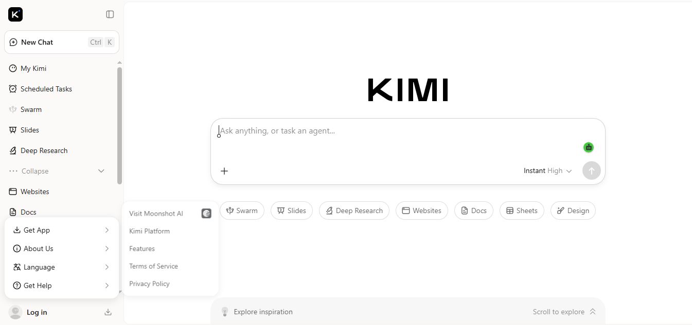
Kimi AI is an advanced AI assistant developed by Moonshot AI that helps you chat, research, write, code, and automate tasks in one place. It supports web search, file analysis, and multimodal inputs, and can even run autonomous “agent” workflows to complete complex tasks end-to-end.
Freemium

Fashion Diffusion AI
Fashion Diffusion is an AI-powered fashion design platform that helps brands and designers create clothing designs, virtual try-ons, AI models, product photos, and marketing visuals faster and cost-effectively.
Paid
Veo 4
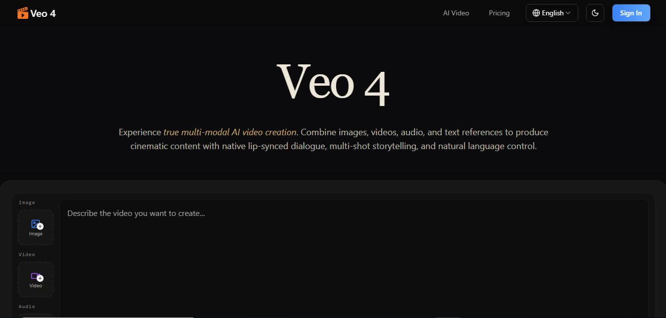
Veo 4 AI is an AI video creation platform that generates dramatic videos from text, images, audio, and video prompts using realistic motion and synchronized sound.
Paid
Alternatives
Alternatives to GeoSpy AI
The best GeoSpy AI alternatives includes Google Lens, Picarta AI, Yandex Visual Search, Bing Visual Search, Overpass Turbo, and SunCalc. These tools assist with image identification, landmark matching, and open-source intelligence research. While GeoSpy AI specializes in automated, metadata-free coordinate prediction using environmental cues, alternatives like Google Lens focus on general reverse image matching, and Picarta AI provides basic photo location estimates. Choosing the ideal tool depends on whether you require deep investigative coordinate prediction or everyday reverse image search.
 4.9
4.9QuillBot
Writing
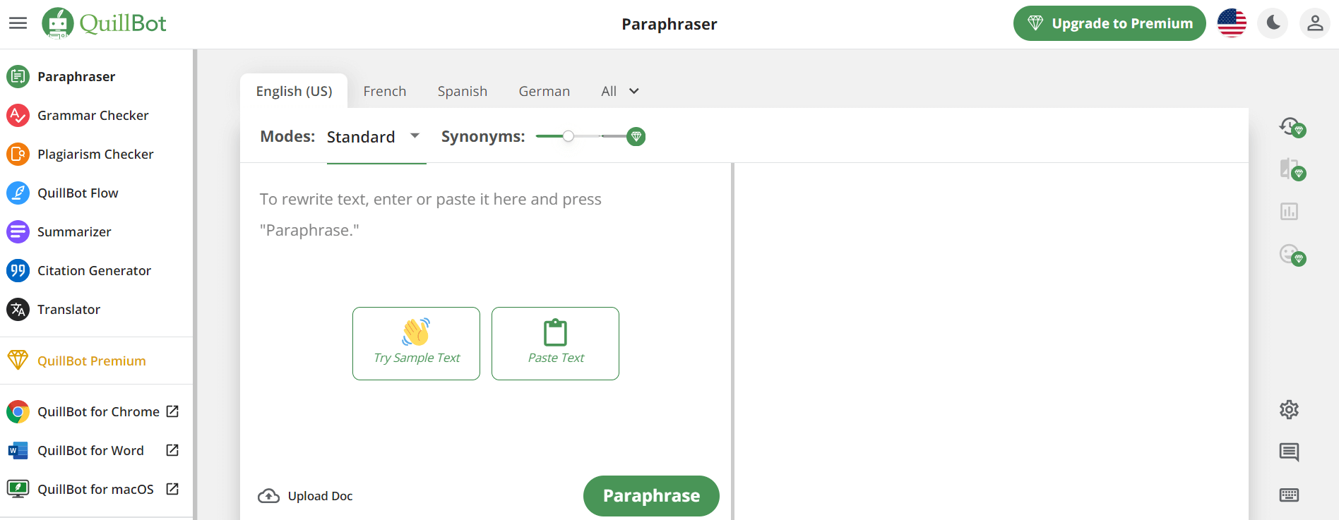
QuillBot is an AI-powered writing assistant that helps users paraphrase, check grammar, summarize content, and generate ideas in one platform. It combines tools like paraphraser, AI chat, plagiarism checker, and translator to improve writing clarity, accuracy, and productivity across academic, professional, and everyday tasks.
 4.9
4.9Google Cloud Vision API
AI-Detection
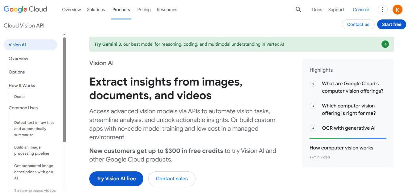
Google Cloud Vision API is a developer-focused computer vision service that offers pre-trained machine learning models for optical character recognition (OCR), image labeling, face detection, explicit content moderation (SafeSearch), and custom AutoML Vision training.
 4.7
4.7GPTKit
AI-Detection
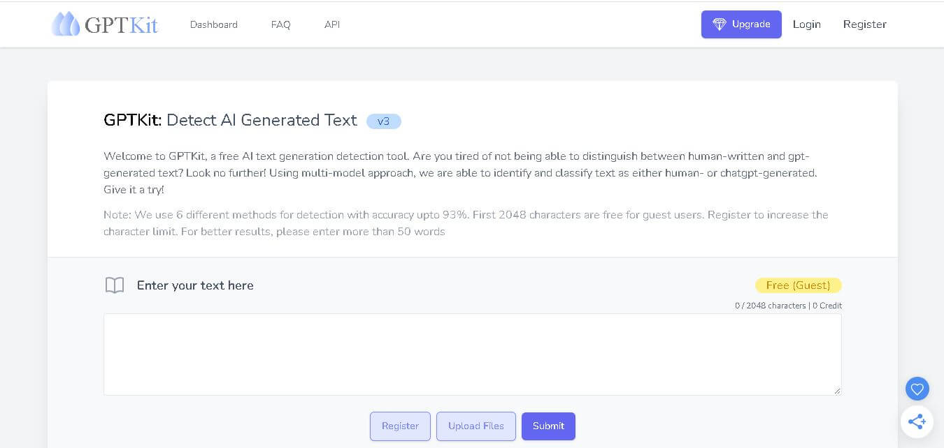
GPTKit is an AI text detection tool that analyzes writing to identify whether it may have been generated by ChatGPT or another AI system. It uses six detection methods, supports file uploads, offers free access for the first 2,048 characters per request, and currently supports English content.
 4.3
4.3GPTinf
AI-Detection
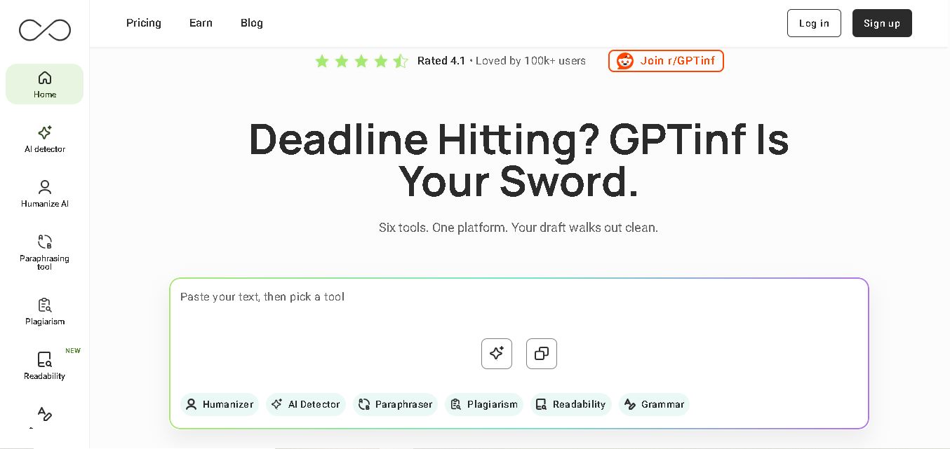
GPTinf is an all-in-one writing toolkit for checking, rewriting, paraphrasing, and improving content. You can detect AI patterns, check plagiarism, fix grammar, analyze readability, and humanize drafts using multiple writing modes. It supports students, bloggers, marketers, freelancers, educators, and professionals who want more polished, natural-sounding content.
RoFT
AI-Detection
RoFT (Real or Fake Text) is an interactive, gamified research project and web application that challenges users to test their ability to distinguish between human-written text and machine-generated content. Featuring diverse content categories like short stories, news articles, recipes, and speeches, the platform focuses on 'Boundary Detection' to help users identify the exact moment an artificial intelligence takes over writing.
 4.8
4.8TinEye
AI-Detection
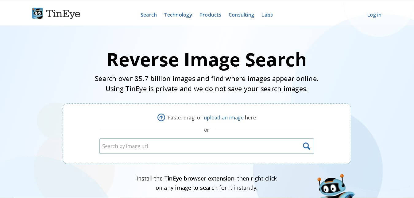
TinEye (tineye.com) is a pioneer reverse image search and computer vision platform that allows users and enterprises to track image usage, verify photo authenticity, identify copyright, and detect visual modifications across an index of tens of billions of web images.
 4.6
4.6Undetectable AI
AI-Detection
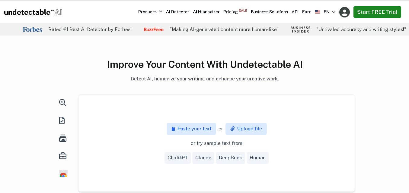
Undetectable AI helps users detect AI-generated text, humanize writing, and improve content quality. Its toolkit includes AI detection, paraphrasing, plagiarism checking, SEO writing, image detection, and browser tools. It serves students, writers, marketers, professionals, researchers, and businesses looking to review and refine AI-assisted content efficiently. Its focus is readable content improvement.
EasySpecs
AI-Detection
EasySpecs is a spec review and living documentation platform that automatically documents legacy or active codebases and converts them into verified specifications paired with executable Oracles and evaluation Rubrics before AI coding agents generate code.
 4.6
4.6FaceFinder
AI-Detection
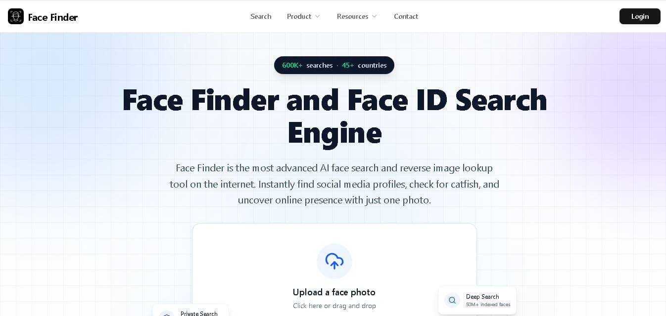
Face Finder helps you search for a person online using a face photo. It can identify potential matches across social networks, websites, dating platforms, news pages, and other publicly indexed sources. With support for JPG, PNG, and WEBP images, it provides similarity scores and source links to help you investigate online appearances.